Mapping Basics.
Program Details
- kyiv
- nov 18 – 22, 2025
- up to 16 trainees
Introduction to aerial mapping and surveying. Learn how to plan flights, capture high-quality images, and build reliable ground maps. For beginners in civil drone use.

drones in use:

FPV racing drones
for beginner training

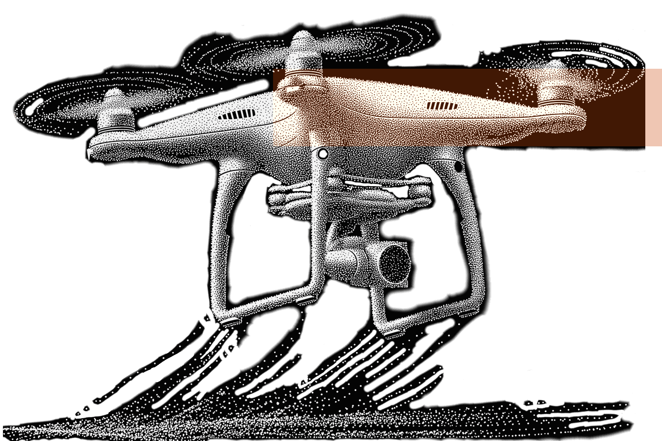
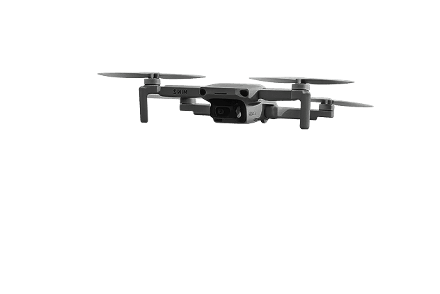
DJI Mavic MINI 2 multirotors
for stability and aerial footage exercises
Program course
The Training Roadmap.

step 01
Theory (25%)
- Introduction, rules, and safety
- Drone anatomy & systems (radio, video links, batteries)
- Simulator basics: take-off, hovering, landing, orientation
step 02
Practice (75%)
- Take-off, landing, and basic control in open field
- Flying straight lines, circles, and square patterns
- Speed training on simple FPV tracks
- Navigating around obstacles
- Developing smooth and stable flight control
- Practicing basic FPV freestyle moves (simple flips, rolls)
- Hovering in place and maintaining altitude
- Precise landings and route-based flying
- Simulator basics: take-off, hovering, landing, orientation
- Practicing aerial footage: framing, panoramas, smooth movements
- Combined exercises with both FPV and DJI for accuracy and stability
- Teamwork drills with two pilots working together
step 03
Knowledge Review
- Quick theory quiz (radio, video, batteries, safety)
- Practical test: FPV track + DJI stability drill
step 04
Certification
- Final evaluation and feedback
- Certificate: FPV Basic Drone Piloting
Master the Sky:
FAQ
Flight Ready Answers.
Is the equipment provided, or should I bring my own?
We provide all the necessary equipment on-site.
Are courses available in other cities?
Yes, courses are available in the following cities: Kyiv, Lviv, Dnipro.
Where exactly is the training field located?
For safety reasons, the exact locations of our training fields are not publicly disclosed. Detailed information will be provided after registration.
Are there any discounts for active military personnel?
Active military personnel are eligible for fully free training.